> Portfolio > The Zambezi
Africa's wild heart
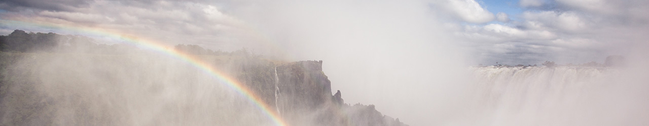
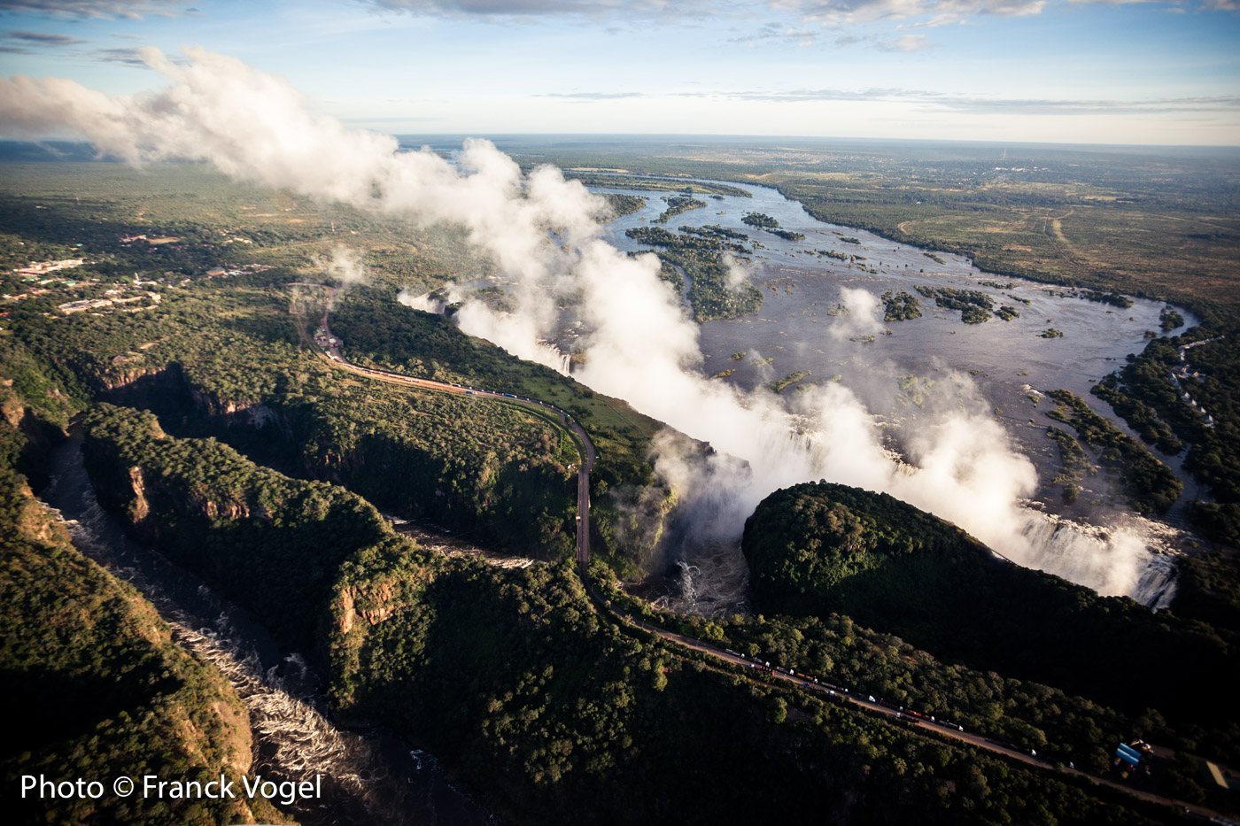
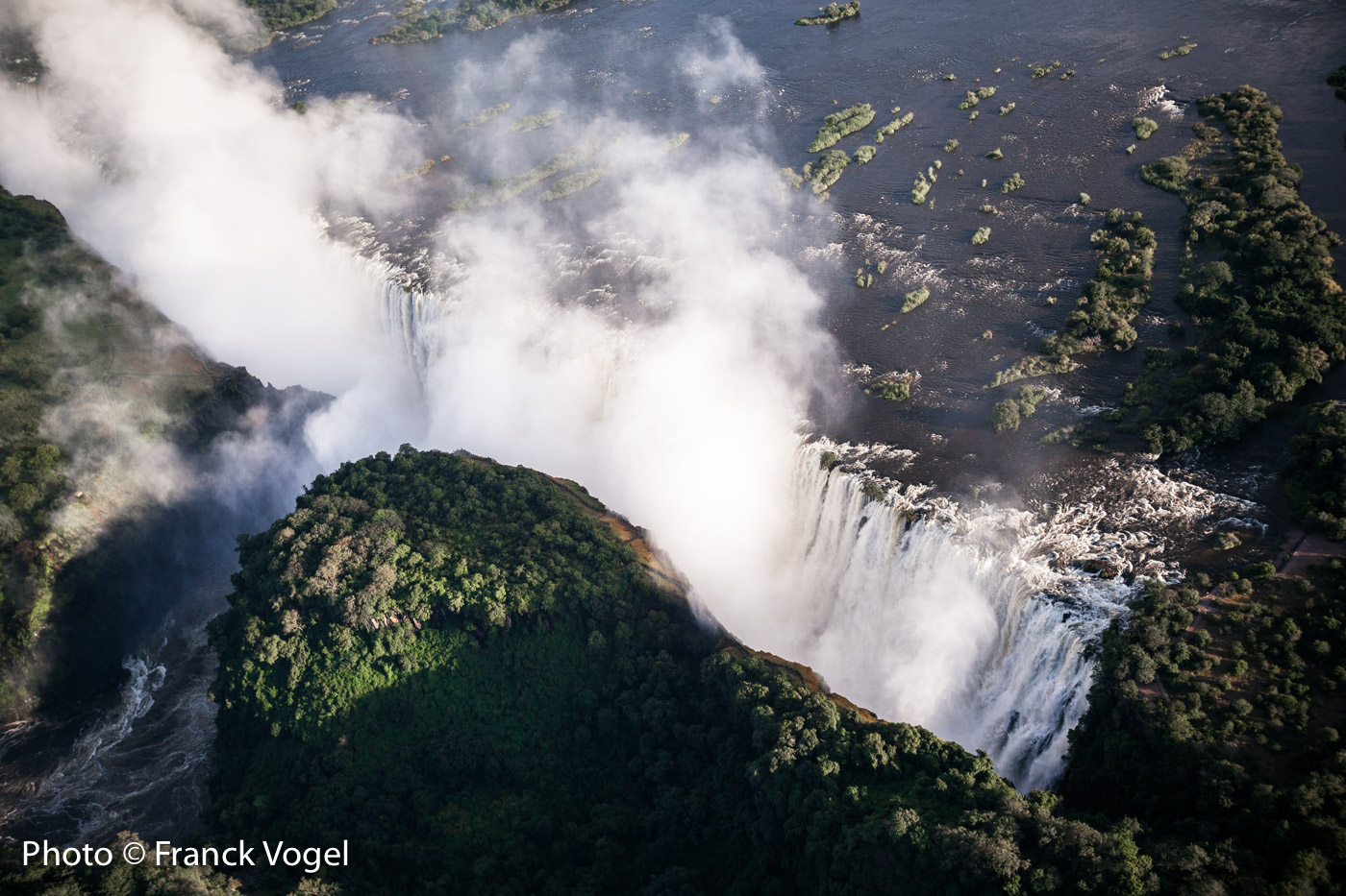
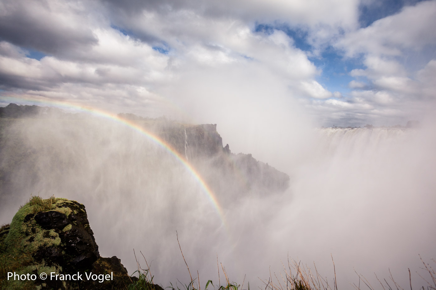
The Zambezi is the least documented of the great rivers in Africa, while its watershed is shared by eight countries including Zambia and Zimbabwe, two green paradises. The river flows 2500 kilometers across Southern Africa up to the Indian Ocean and is the fourth longest river in Africa. Yet, the Zambezi River is often summarized with a single image: its spectacular Victoria Falls, observed for the first time in 1855 by a European: David Livingstone. He named it God's Highway and it’s full of treasures, but today, mining companies are threatening it in Zambia.
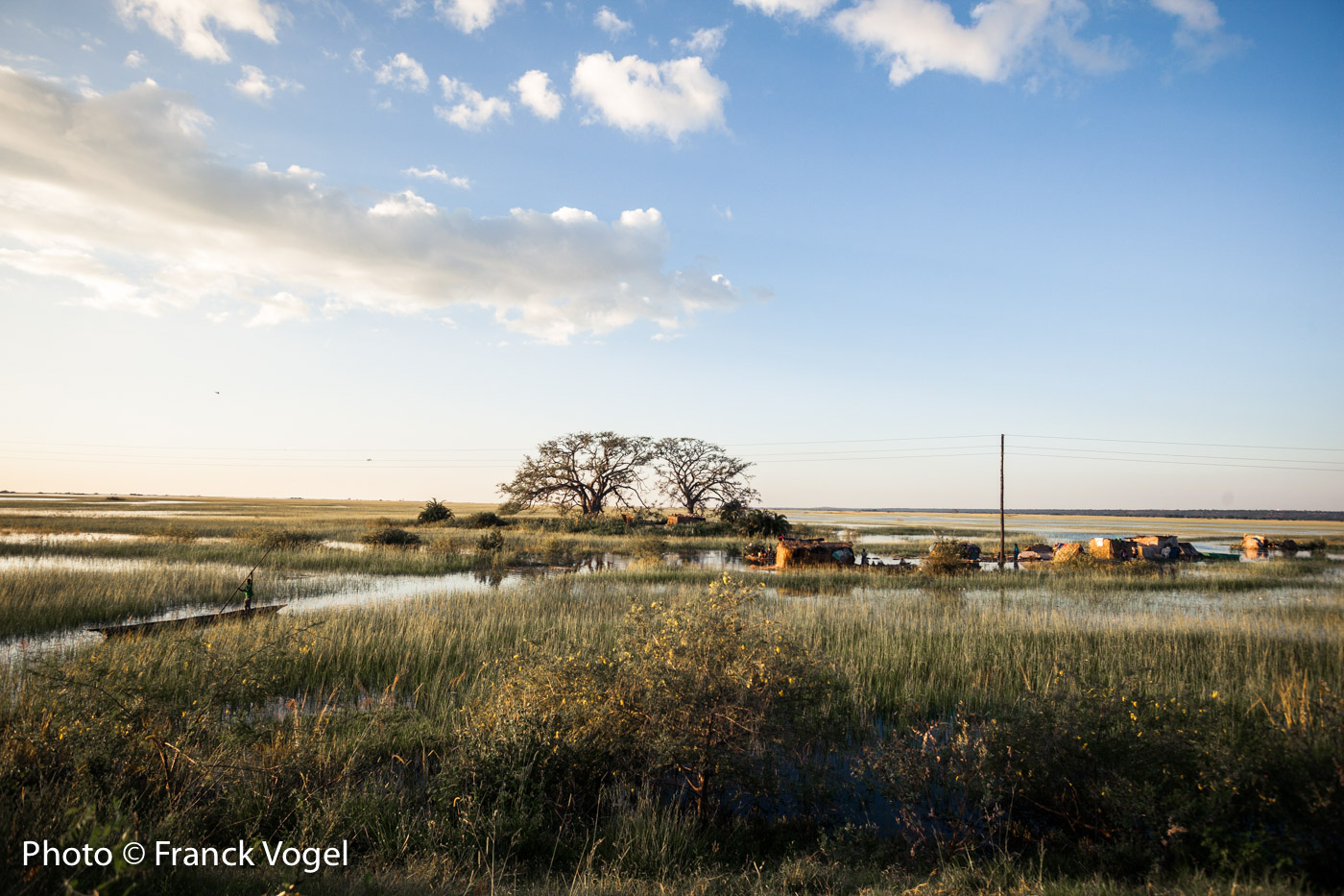
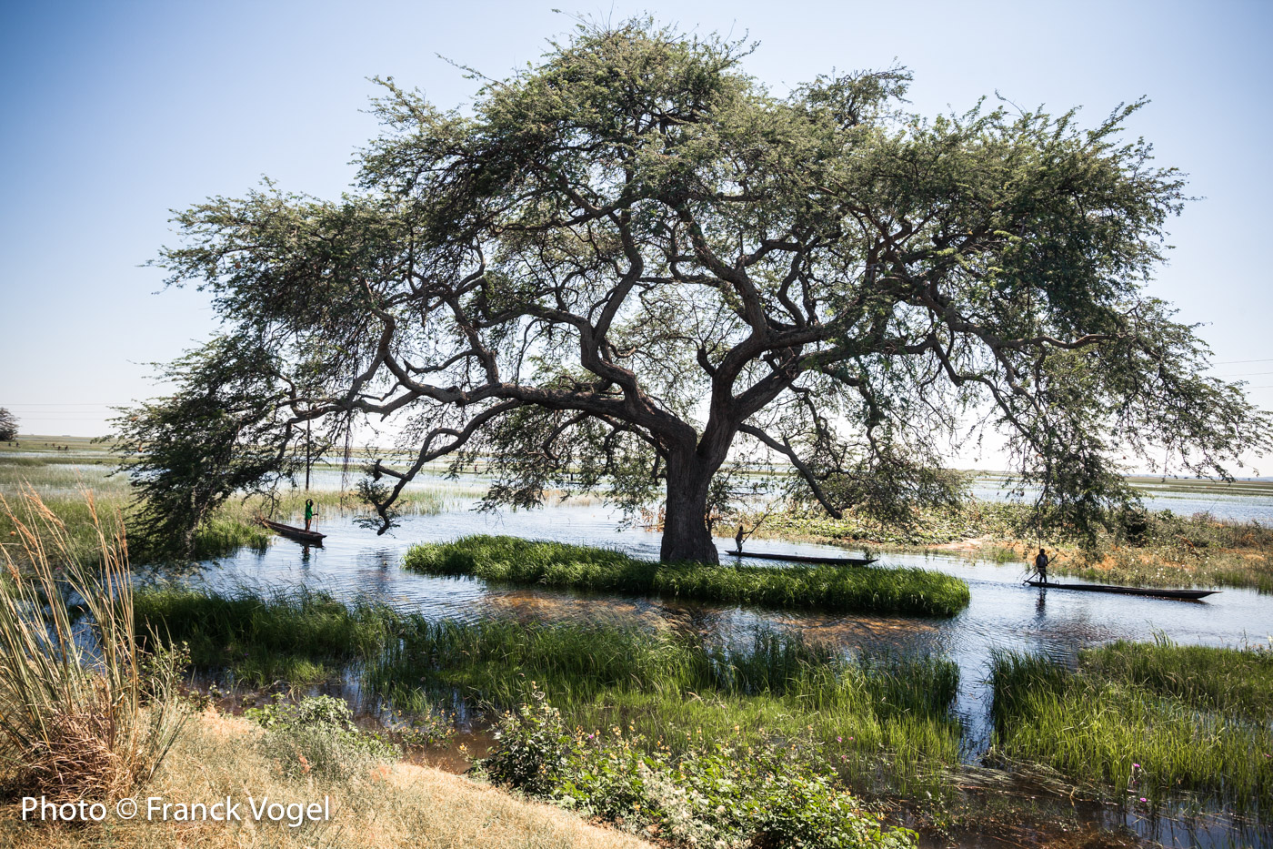
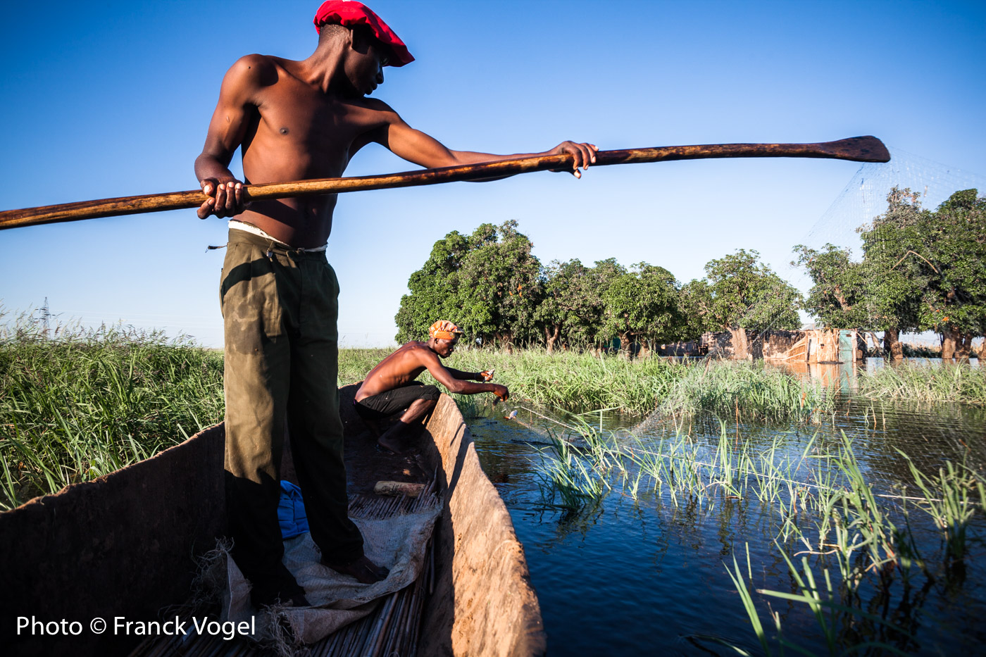
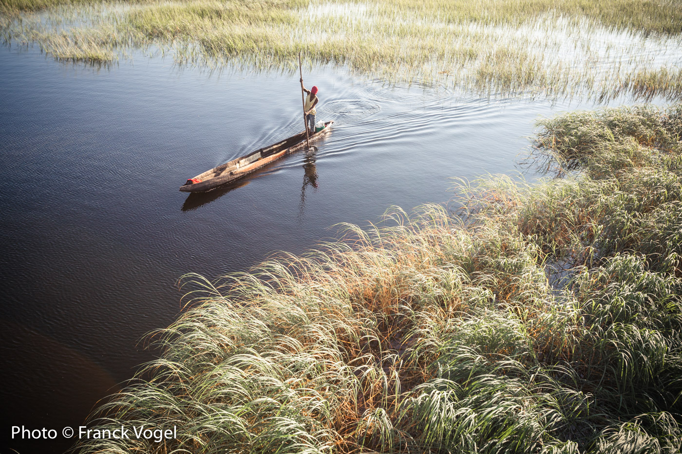
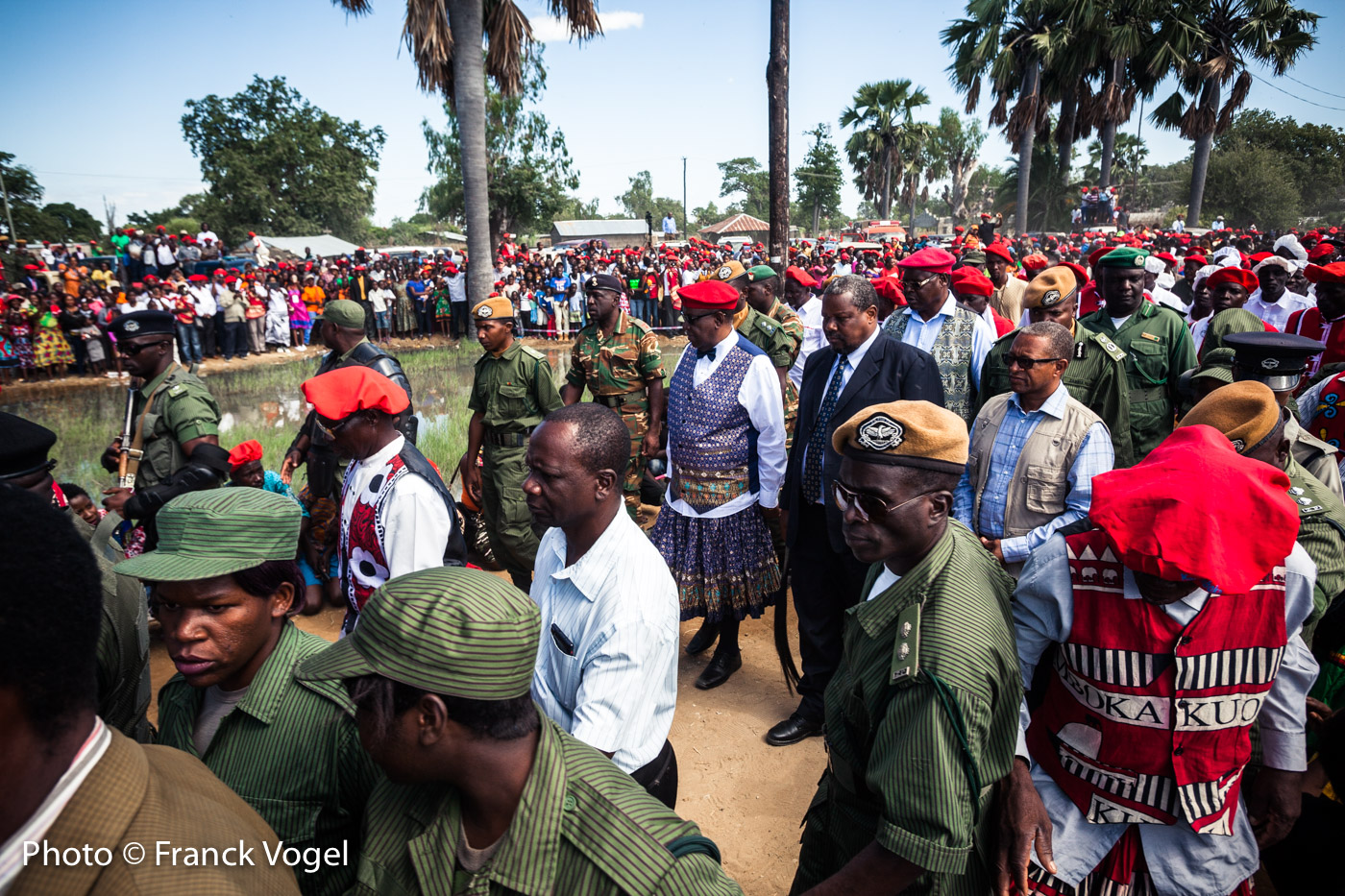
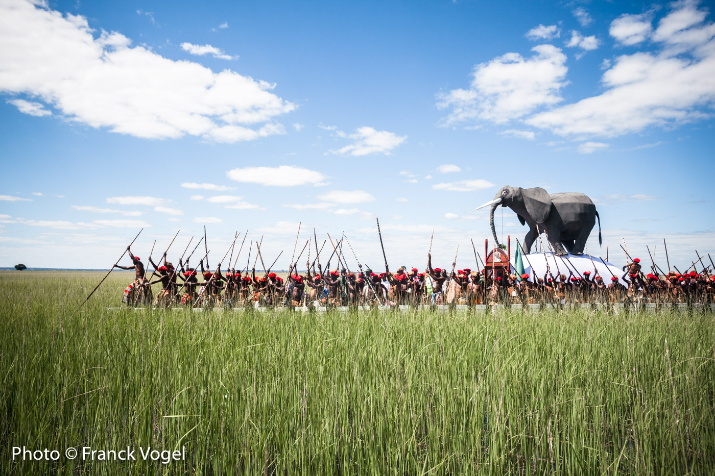
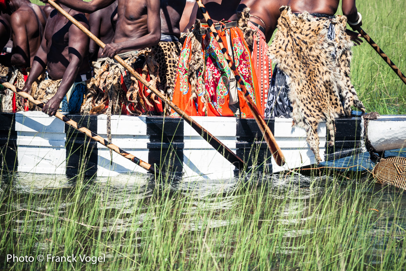
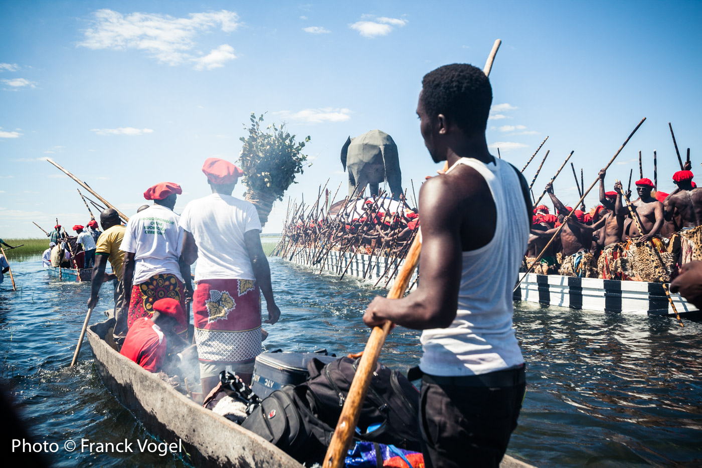
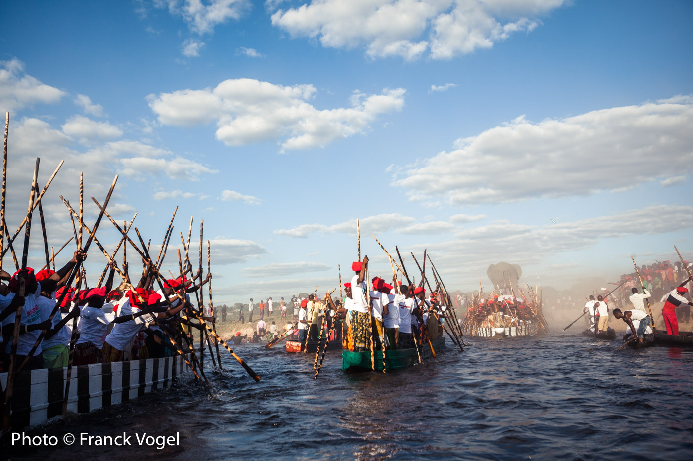
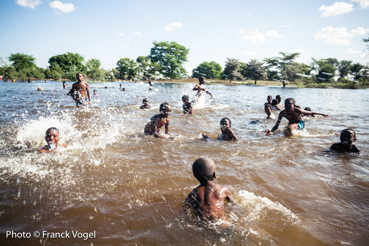
The beauty of the river starts with the Barotses (also known as Lozis) one of the 25 ethnic groups in Zambia, in the southwest of the country, where Kuomboka means, "get out of the water". In April, at the end of the rainy season the fertile plains are flooded by the Zambezi River, in the country’s Western Province. It’s also the time for the Barotses to celebrate near Mongu, capital of the province, the symbolic Royal migration of the King and his court from Lealui, the summer palace, to the winter palace, Limulunga. Boats of every description take part in the procession through the marshes and shallow waters. The Kuomboka ceremony has endured for more than 3 centuries in Barotseland, where supporters of the secession of the province are united under the banner of the independence party the "Barotse National Freedom Alliance".
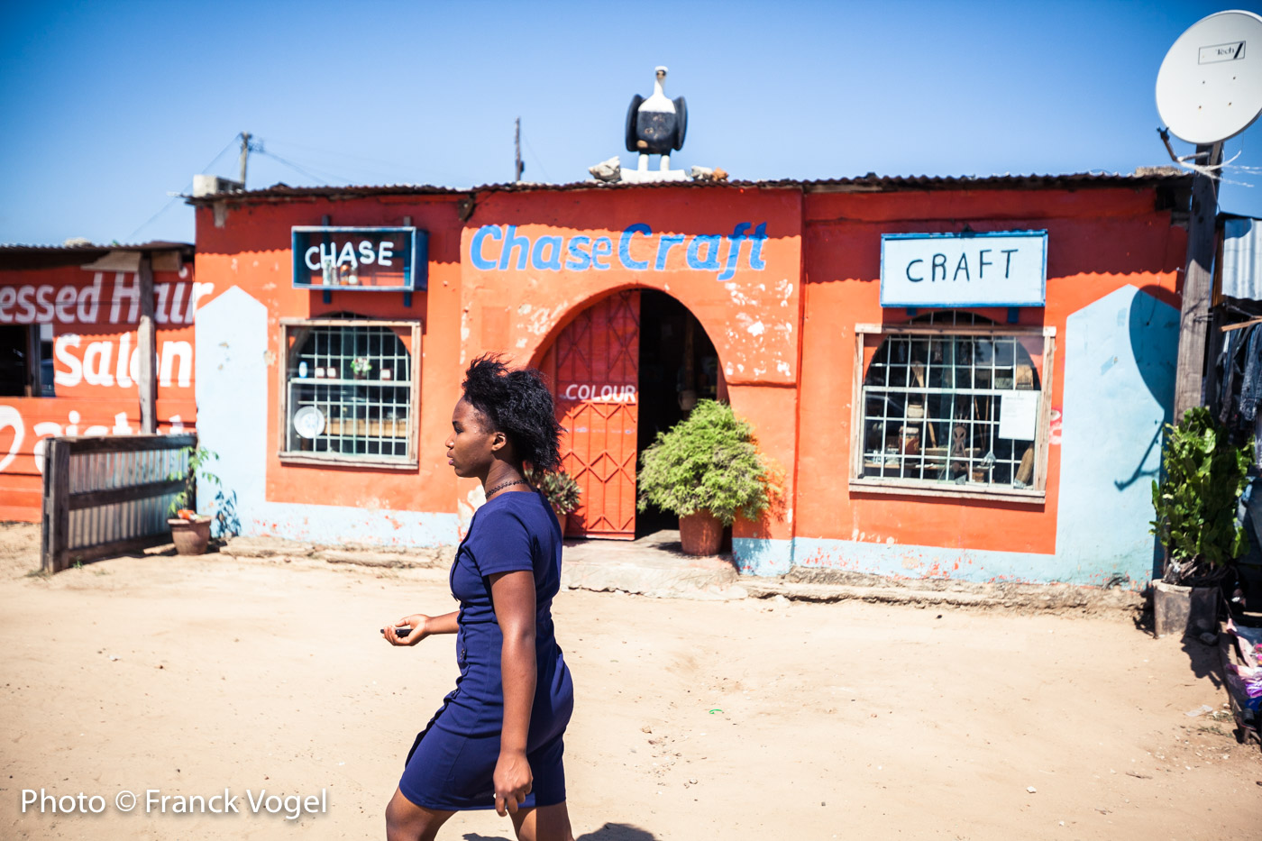
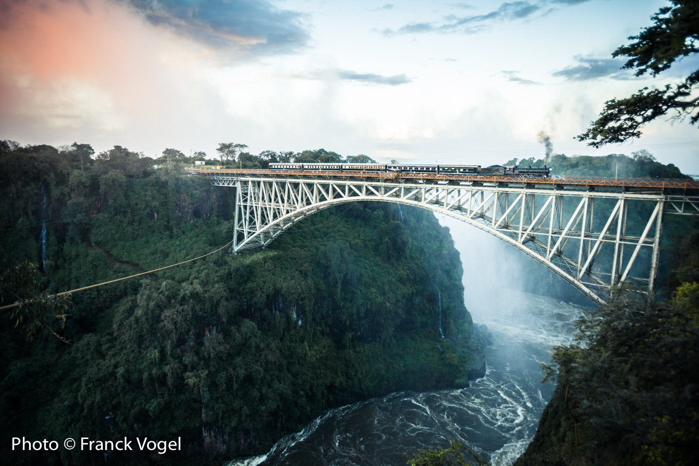
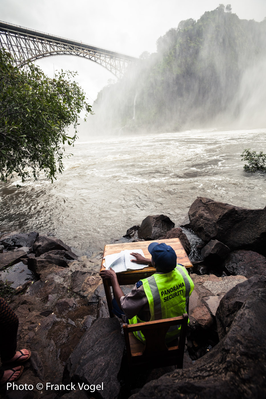
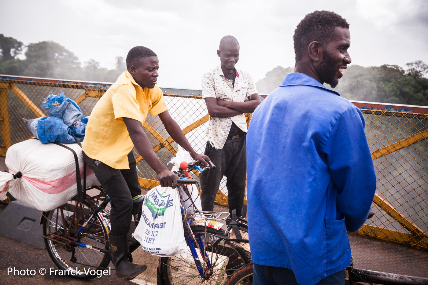
After some hectic navigation down the river, we are stopped in Livingstone by Victoria Falls, which is on every traveler’s bucket list. The Mosi-oa-Tunya ("the smoke that thunders’) is an amazing show and shares its border with Zimbabwe. The bridge between both countries is also the center of transboundary trade ranging from rice and corn smugglers on their bicycles to heavily loaded trucks shipping their copper to South Africa — as well as the famous steam train for tourists, the Royal Livingstone Express. Since most white farmers from Zimbabwe came here after being evicted, the region now has large scale farms.
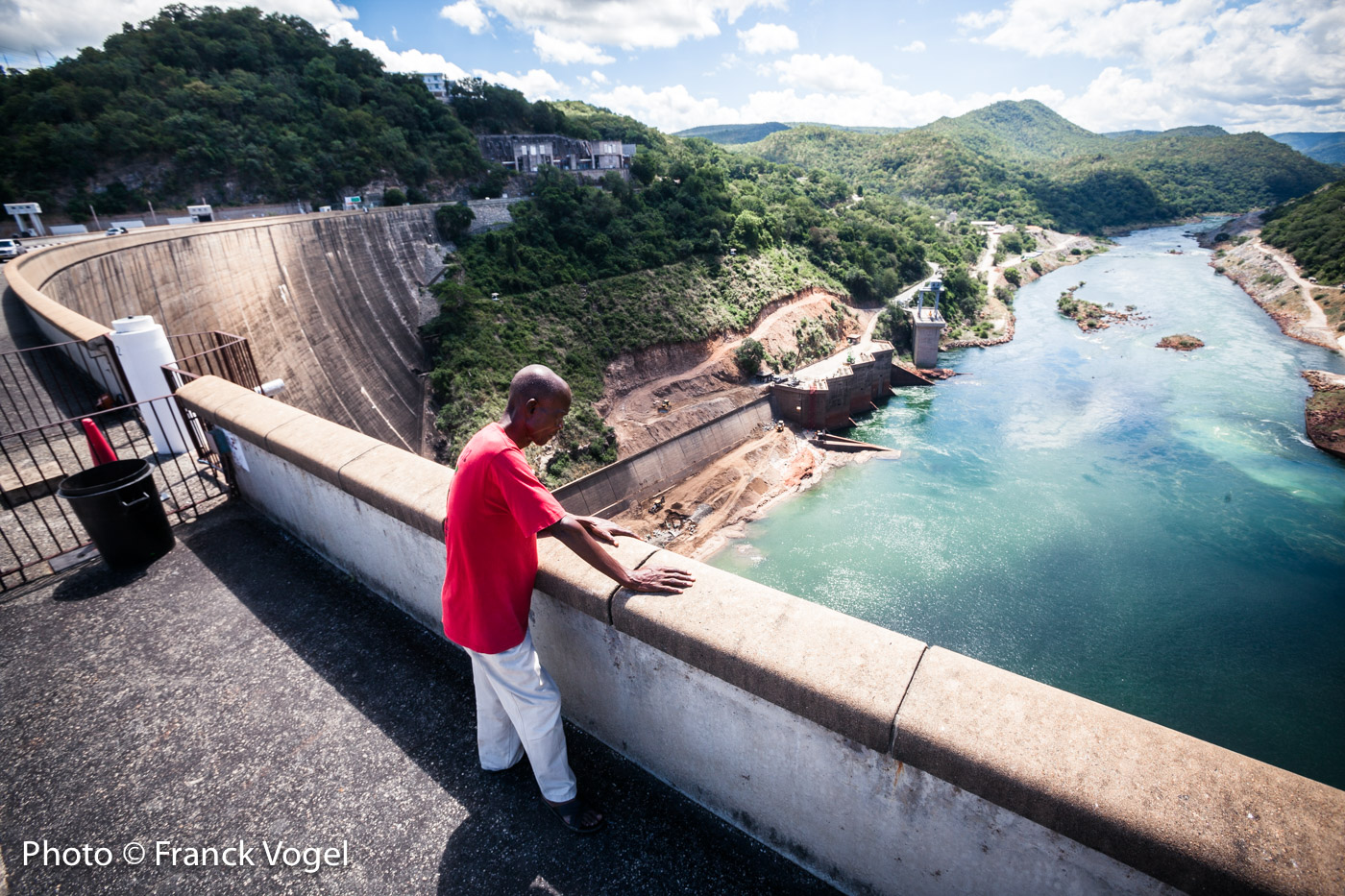
At the end of the 1950s, when Zambia and Zimbabwe were known as Northern and Southern Rhodesia, 57,000 Tonga herders were displaced by force from the fertile plains bordering the Zambezi in order to build a massive hydroelectric dam, the Kariba - largest in the world at the time. This construction also created the second biggest reservoir in Africa and flooded the Tonga's ancestral lands. 60 years later, the Tongas continue to keep this memory alive.
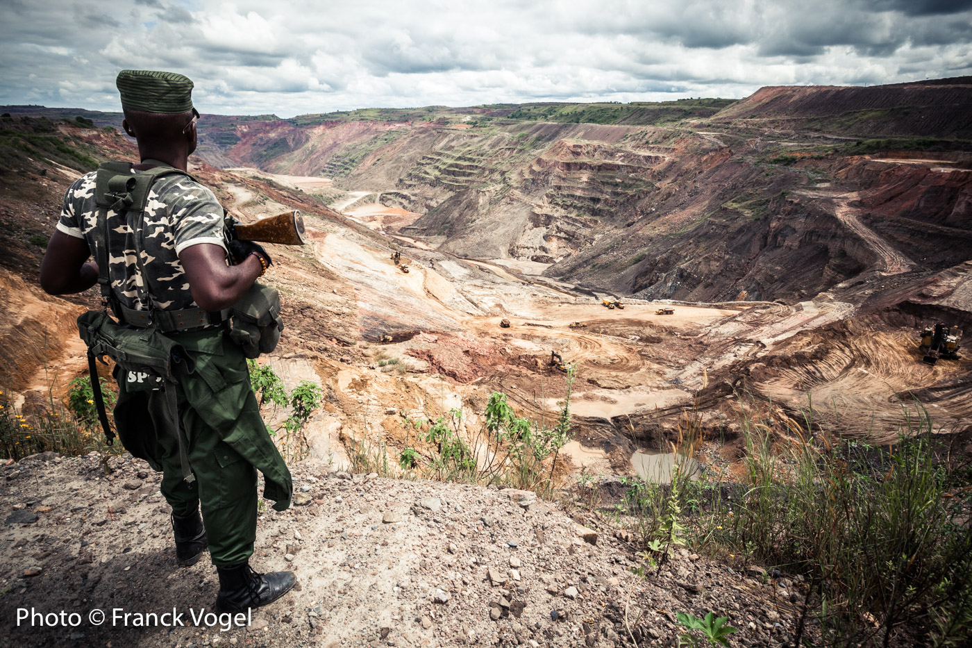
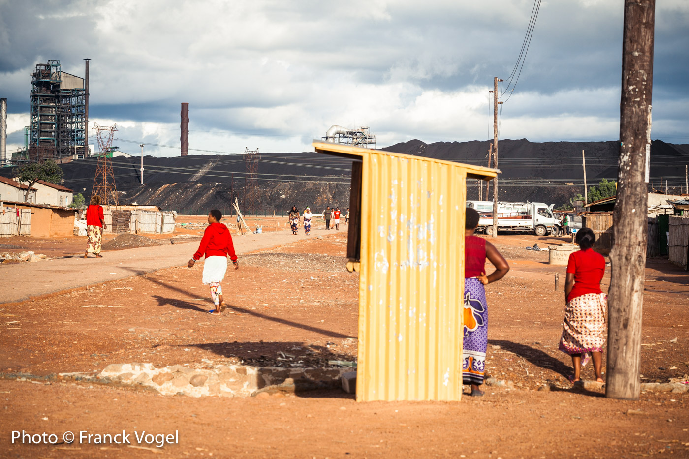
A wild beauty threatened by the copper industry
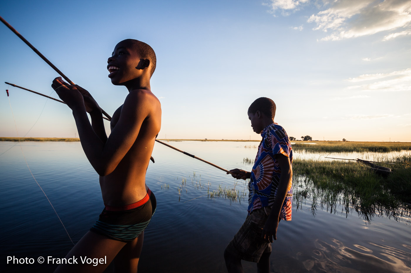
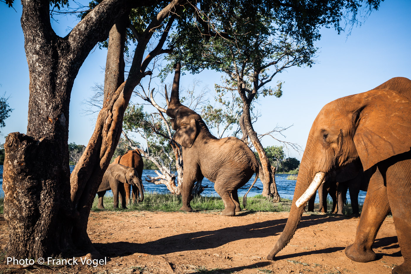
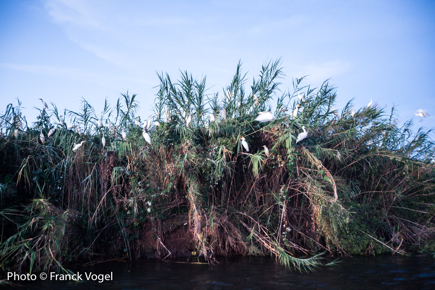
Hippopotamus and crocodiles of course, but also elephants, lions, leopards and myriads of birds. In Zambia, the Zambezi River flows through many sanctuaries, often unknown: the Lower Zambezi National Park is one of them. Its tributary, the Kafue River, due to the Copperbelt mines, already pollutes the Zambezi River. But soon, it might even get worse. A new Australian open pit copper mine is planned about 30 km inside the National Park. The project is obviously challenged by environmental NGOs, but can Zambia, whose economic situation has degraded with the fall of the copper price (10% growth rate in 2009 to less than 4% today), afford to sacrifice such a project?


The Zambezi River is 1550 miles (2500 km) long and flows from its source in Zambia through Angola, Zambia, Zimbabwe, Mozambic and discharges into the Indian Ocean.